[ad_1]
Measuring the frozen ocean from the sky
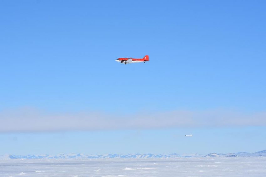
A Kiwi research team has, for the first time ever, used a fixed wing aircraft to measure the thickness of a huge area of sea ice in Antarctica.
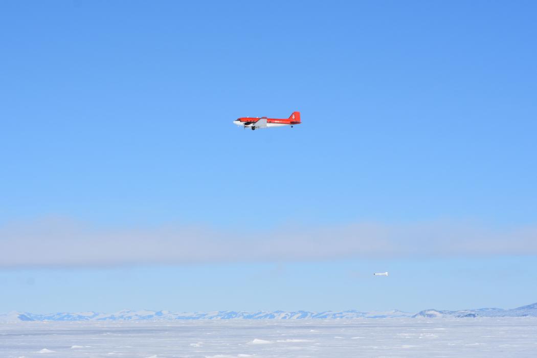
The ice thickness was measured using a Basler BT-67 (a modified DC-3) plane towing a piece of equipment called an EM Bird underneath.
The team, led by University of Canterbury Glaciologist Wolfgang Rack, has just published their findings in an article in Geophysical Research Letters.
The researchers have identified an area of thicker-than-expected ice in the Ross Sea that formed as a result of wind-driven collision of sea ice masses. Studying these areas of where ice converges is important for understanding how sea ice is produced and how formation of sea ice changes circulation patterns in the Southern Ocean.
Associate Professor Rack says usually you would expect Antarctic sea ice to be around a metre thick on average, but in the region surveyed by the team, wind events greatly increase the thickness.
“We didn’t know how thick the ice was when we started out, we knew the area covered but not the volume, so its super significant to now have this baseline data. If we want to know if ice is thinning, we need to measure its initial thickness in the first place.
[ad_2]
More at the source